
Hydrogeological & Hydrological Investigation Services
Hydrogeological Investigation The Science Behind Every Sound Groundwater Decision in Pakistan
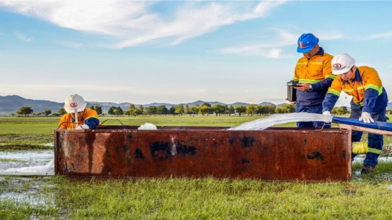
You can drill a borehole in the wrong location and get water. You can also drill ten boreholes in the right locations, properly sited and tested, and build a water supply scheme that runs reliably for thirty years. The difference between those two outcomes is a hydrogeological investigation done before the drilling begins.
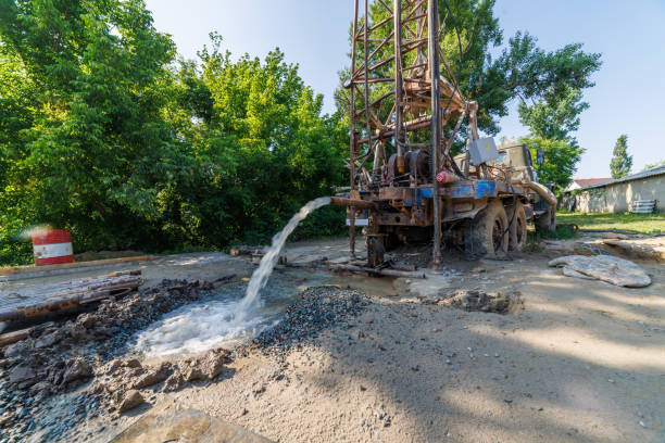
We carry out full hydrogeological investigations for infrastructure projects, water supply schemes, agriculture, industrial facilities, and environmental compliance programs across Pakistan. Our services span aquifer delineation, pumping and aquifer testing, groundwater modeling, and piezowell monitoring networks. The output is data your engineers, planners, and regulators can rely on.
- Hydrogeological investigations for water supply, agriculture, industry, and environmental projects
- Aquifer testing programs including constant rate pumping tests, step tests, and recovery analysis
- Piezowell monitoring installation and reading programs across Pakistan
- Written investigation reports with hydrogeological recommendations, aquifer parameters, and groundwater quality data
- Groundwater modeling using numerical simulation for flow, yield, and long-term behavior
- Transmissivity, hydraulic conductivity, and storativity determination from field test data
- Vertical Electrical Sounding (VES) and Electrical Resistivity Tomography (ERT) for aquifer delineation
Get a free quote
Others services
- Water Boring Services in Karachi
- Boring Water Rates 2026
- Geological Mapping & Subsurface Data Services
- Drone 3D Topography & Contour Mapping for Construction
- Industrial & Residential RO Plant Installation
- Solar Powered Tube Well Systems & Installation
- Water Boring Machines & Drilling Equipment (Buy/Hire)
- Boring Water Pumps, Motors & Pipe Price List 2026
- Geotechnical Investigation & Soil Testing for High-Rises
Our process
What a Hydrogeological Investigation Covers
A hydrogeological investigation is not a single test. It is a structured program of field surveys, borehole testing, water sampling, and data analysis that builds a complete picture of what an aquifer holds, how it behaves, and whether it can reliably serve your project.
01.
Aquifer Delineation Using Geophysical Methods
H4: Aquifer Delineation Using Geophysical Methods
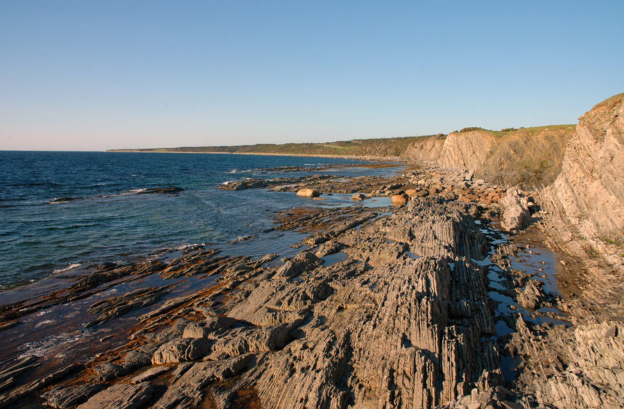
Before any borehole is drilled, geophysical surveys define where the aquifer sits, how thick it is, and whether the groundwater it holds is fresh or saline. Vertical Electrical Sounding (VES) using the Schlumberger electrode configuration is the most widely applied method across Pakistan’s alluvial plains.
By measuring how electrical current travels through subsurface layers at progressively greater depths, the technique generates resistivity profiles that distinguish between clay, silt, sand, gravel, and the water-bearing zones within them.
In areas where fresh and saline aquifer boundaries need precise mapping (a critical issue in coastal areas and parts of Punjab and Sindh), Electrical Resistivity Tomography (ERT) provides two-dimensional cross-sections showing the lateral and vertical extent of each water-bearing unit.
Dar-Zarrouk parameters derived from VES data, specifically transverse resistance and longitudinal conductance, give quantitative indicators of aquifer transmissivity and protective capacity before a single pumping test is run.
This combination of geophysical survey and borehole correlation is now standard practice for any serious aquifer investigation in Pakistan, and the literature from Peshawar Basin, Thal Doab, Cholistan, and Faisalabad all demonstrates its reliability in delineating productive groundwater zones.
02.
Aquifer Testing
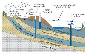
Aquifer testing is how you move from knowing that water exists to knowing how much you can reliably take, at what rate, and what happens to the water table around you when you do. A standard constant rate pumping test draws water from a production well at a fixed rate for a defined period (typically 24 to 72 hours), while water levels in the pumped well and in nearby observation piezowells are recorded continuously.
The drawdown data, plotted against time on semi-logarithmic paper or processed through software like AQTESOLV, is then analyzed using methods appropriate to the aquifer type: This for confined aquifers, Neuman or Boulton for unconfined systems, and Hantush-Jacob for leaky aquifers.
The numbers that come out of a properly analyzed pumping test are transmissivity (a measure of how readily water moves through the aquifer), hydraulic conductivity (the same property normalized for aquifer thickness), and storativity or specific yield (the volume of water an aquifer releases per unit decline in head).
These parameters are not estimates. They are measured values, and they feed directly into yield calculations, well field design, and groundwater model construction. A step drawdown test, typically run before the constant rate test, characterizes the well efficiency and determines the optimal sustainable pumping rate.
03.
Groundwater Modeling
A numerical groundwater model takes the aquifer parameters from your investigation, combines them with boundary conditions (river stages, recharge zones, abstraction from existing wells), and simulates how the aquifer system responds to different scenarios.
What happens to the water table if you add three more tube wells? What is the safe yield of the aquifer over a 20-year planning horizon? Where does the drawdown cone extend under sustained pumping? These are questions a model answers quantitatively.
Software platforms including MODFLOW, FEFLOW, and VISUAL MODFLOW are standard in professional groundwater practice. Calibration against historical water level data from monitoring wells and piezometers is the step that confirms whether the model accurately represents the real system before it is used for prediction.
A calibrated groundwater model is the most reliable planning tool available for long-term water supply management, irrigation scheme design, and environmental impact assessment of groundwater abstraction.
04.
Piezowell Monitoring in Pakistan
A piezowell (observation well or standpipe piezometer) is a small-diameter well installed specifically to monitor groundwater levels over time. It does not produce water. It reads the water table.
A network of piezowells across a project area, read monthly or automatically through dataloggers, gives you a continuous record of how groundwater levels respond to seasonal recharge, irrigation abstraction, and changing land use.
This time-series data is what allows a groundwater model to be calibrated and updated, what allows an irrigation scheme to detect aquifer stress before it becomes a crisis, and what allows a regulatory body to confirm that a licensed abstraction is staying within sustainable limits.
A typical piezo-well installation in Pakistan consists of a 4 to 6 inch diameter perforated casing set within a gravel pack at the target aquifer depth, sealed above the screen zone with bentonite to prevent vertical cross-contamination, and fitted with a surface headwork and cap.
Water levels are measured monthly with an electric water level sounder or continuously through a vibrating wire pressure transducer connected to a datalogger. Pre-monsoon (May to June) and post-monsoon (October to November) readings are the minimum frequency for any meaningful long-term monitoring program.
Why Choose Us
Why Pakistan's Engineers and Project Developers Choose Our Hydrogeological Services
Hydrogeological work that is done poorly gives you numbers. Hydrogeological work that is done properly gives you numbers you can trust, alongside an explanation of what they mean for your specific project and what they do not tell you.
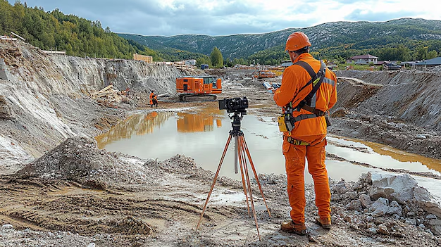
Investigation Programs Designed Around Your Specific Question
A water supply investigation for a municipality is a different program from a contamination assessment at an industrial site, which is different again from an aquifer characterization for an irrigation scheme
We design the investigation around what you actually need to know, not around a standard template that covers all bases without answering the specific question your project is asking. Before any fieldwork is proposed, we discuss your project objectives, your design parameters, and any regulatory requirements that will apply to the report deliverable.
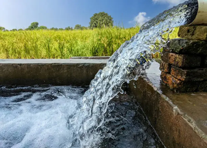
Aquifer Testing Analyzed to Professional Standards
Pumping test data is only as useful as the analysis applied to it. We process aquifer test results through recognized analytical methods (Theis, Cooper-Jacob, Neuman, Hantush-Jacob, and others) appropriate to your aquifer type, and we document the method selection in the report so your reviewing engineer can follow and verify the calculation.
Where data shows boundary effects, delayed yield responses, or multi-layer behavior, we identify and interpret them rather than forcing the data into a simple straight-line fit that understates aquifer complexity.
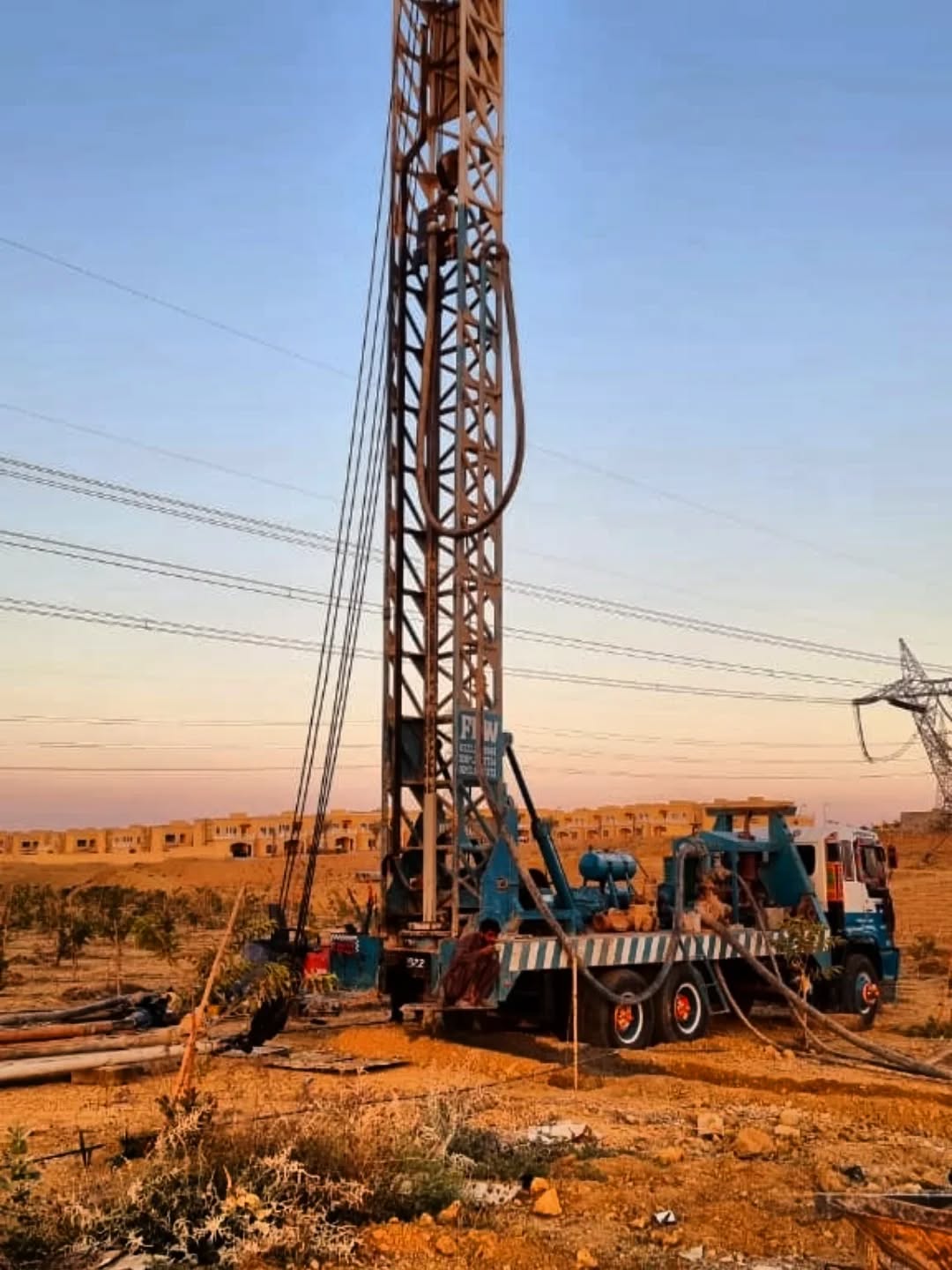
Piezowell Networks Installed to a Documented Standard
Every piezowell we install is surveyed to a common datum, documented with a completion log showing casing depth, screen interval, gravel pack extent, and bentonite seal position, and registered with the relevant monitoring reference.
This documentation confirms the well is monitoring the intended aquifer zone and allows readings from different years and different operators to be reliably compared. A piezo-well without proper installation documentation cannot be reliably incorporated into a regional monitoring network or used to calibrate a groundwater model.
Excellence skills & Quality work
Our commitment to precision drives every project we undertake. We combine technical mastery with a rigorous attention to detail, ensuring that every borehole, survey, and engineering solution meets the highest industry standards. By prioritizing safety and structural integrity, we transform complex geological challenges into seamless, high-performing assets for our clients.