
Electrical Resistivity Survey
Electrical Resistivity Survey See What Is Underground Before You Spend a Rupee on Drilling
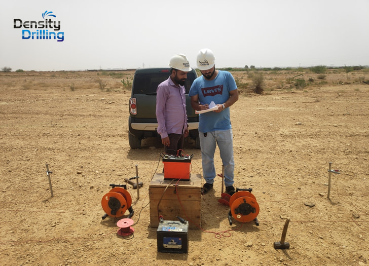
You can drill a borehole and hit nothing. You can also run an electrical resistivity survey first, identify exactly where fresh groundwater sits, how deep it is, and what sits between you and it — and then drill once, in the right place, at the right depth, and get water that lasts.
That is the difference a professional ERS survey makes.
We carry out electrical resistivity surveys across Pakistan for groundwater exploration, aquifer delineation, contamination mapping, geological investigations, and environmental compliance programs. Our services cover Vertical Electrical Sounding (VES), Electrical Resistivity Tomography (ERT), and multi-electrode resistivity profiling. The output is a subsurface picture your drillers, engineers, and planners can act on with confidence.
- Electrical resistivity surveys for groundwater exploration, agriculture, industry, and environmental projects
- Vertical Electrical Sounding (VES) using Schlumberger configuration for depth-specific aquifer delineation
- Electrical Resistivity Tomography (ERT) for 2D cross-sections showing lateral and vertical subsurface variation
- Written survey reports with resistivity profiles, interpreted geological sections, and borehole siting recommendations
- Fresh water and saline water boundary mapping in coastal zones and salt-affected areas of Punjab and Sindh
- Dar-Zarrouk parameter analysis including transverse resistance and longitudinal conductance
- Contamination plume detection and leachate mapping at industrial and waste disposal sites
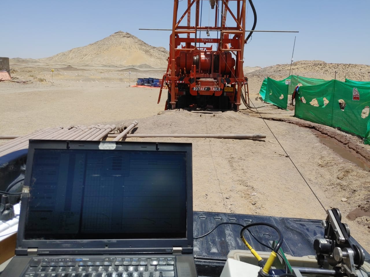
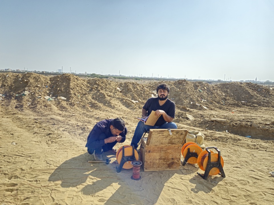
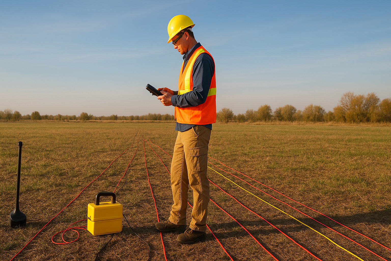
Get a free quote
Others services
- Water Boring Services in Karachi
- Boring Water Rates 2026
- Geological Mapping & Subsurface Data Services
- Boring Water Pumps, Motors & Pipe Price List 2026
- Industrial & Residential RO Plant Installation
- Solar Powered Tube Well Systems & Installation
- Water Boring Machines & Drilling Equipment (Buy/Hire)
- Hydrogeological & Hydrological Investigation Services
- Geotechnical Investigation & Soil Testing for High-Rises
Our process
What an Electrical Resistivity Survey Covers
An ERS survey is not a single reading. It is a structured field program that sends electrical current into the ground, measures how different subsurface materials respond to it, and builds a picture of what is down there without drilling a single hole.
01.
How Electrical Resistivity Surveying Works
Every subsurface material conducts electricity differently. Dry sand is highly resistive. Clay is conductive. Gravel saturated with fresh water reads differently from gravel saturated with saline water. Rock fractures filled with groundwater stand out against unfractured bedrock. These contrasts are measurable at the surface, and that is exactly what an electrical resistivity survey exploits.
The method works by driving current into the ground through two current electrodes and measuring the resulting voltage across two potential electrodes placed at defined spacings. The ratio of voltage to current gives resistance, which is converted to apparent resistivity using a geometric factor for the electrode configuration. Repeating this measurement at progressively wider electrode spacings samples greater depths, building a resistivity profile from shallow to deep.
What comes out of the field program is a dataset that, after inversion and interpretation, maps the subsurface into distinct layers — each with its own resistivity value that corresponds to a geological material. Clay layers, sand and gravel aquifers, saline zones, and fractured rock all carry characteristic signatures that a trained interpreter can read.
02.
Vertical Electrical Sounding for Depth Profiling
Vertical Electrical Sounding (VES) using the Schlumberger electrode configuration is the workhorse method for groundwater exploration across Pakistan’s alluvial plains. By expanding the current electrode spacing symmetrically around a central point, VES builds a one-dimensional resistivity depth curve at a single location. That curve is then inverted to produce a layered earth model showing the depth, thickness, and resistivity of each subsurface unit.
From a VES dataset, Dar-Zarrouk parameters can be extracted: transverse resistance gives an early indicator of aquifer transmissivity, and longitudinal conductance indicates how much protective capacity the overlying clay sequence offers to the aquifer below. In areas where dozens of VES points are run along traverses, individual depth profiles can be correlated into cross-sections that show how the aquifer thickens, pinches out, or changes character across a project area.
This is how you find not just whether an aquifer exists, but where it is thickest, where it is freshest, and where it is most likely to yield reliably when pumped.
03.
Electrical Resistivity Tomography for 2D Subsurface Imaging
Where a single VES gives you a depth profile at one point, Electrical Resistivity Tomography (ERT) gives you a continuous two-dimensional cross-section along a survey line. A multi-electrode cable is laid across the ground surface, and measurements are collected automatically through hundreds of electrode combinations at different spacings and positions along the line. The resulting dataset is processed through inversion software to produce a tomographic image showing how resistivity varies both laterally and with depth.
ERT is particularly valuable wherever the subsurface is not horizontally uniform. Fresh and saline aquifer boundaries that shift laterally, contamination plumes migrating away from a source, faults and fracture zones cutting across an otherwise regular stratigraphy, buried channels within alluvial sediments — these are features that a point-by-point VES program may miss entirely but that ERT resolves clearly.
In coastal areas of Sindh, parts of the Indus delta, and saline-affected zones in southern Punjab, ERT is now the standard tool for mapping where the fresh water ends and where you are pumping brine. Drilling without that information is expensive guesswork.
04.
Contamination and Environmental Resistivity Surveys
Groundwater contamination changes resistivity. Leachate from landfills and industrial waste sites typically carries a high ionic load that makes contaminated groundwater significantly more conductive than clean groundwater in the same aquifer. That contrast is detectable by ERT surveys run across the site and downflow from the contamination source.
Resistivity surveys used for contamination investigations map the lateral and vertical extent of the contamination plume, identify preferential pathways such as fractures or permeable sand layers that are carrying contamination further and faster, and define the monitoring borehole locations that will give you defensible data for regulatory compliance. Baseline surveys conducted before a facility begins operations establish the clean-water reference that any future contamination claim must be measured against.
Why Choose Us
Why Pakistan's Engineers and Project Developers Choose Our Electrical Resistivity Services
Resistivity survey work done carelessly gives you a colorful cross-section. Resistivity survey work done properly gives you a cross-section that actually represents the ground, alongside an interpretation that tells you what it means for your specific project.
Survey Programs Designed Around What You Need to Know
A groundwater exploration survey for a municipal water supply scheme is a different program from a contamination baseline survey at an industrial facility, which is different again from a saline-fresh boundary mapping exercise for an irrigation scheme. We design the field program around the specific subsurface question your project is asking. Before any equipment goes to the field, we discuss your project objectives, your target depth and aquifer type, any existing borehole or geological data we can incorporate, and the regulatory requirements that will govern the report deliverable. The survey parameters — electrode configuration, line spacing, maximum current electrode separation — all follow from that conversation, not from a standard template.
Data Processed Through Recognized Inversion Methods
Raw resistivity data is apparent resistivity, not true resistivity. The gap between the two is closed through inversion — and the quality of the inversion determines whether the final cross-section is a reliable picture of the ground or a smooth interpolation that hides the features you need to see. We process resistivity data through industry-standard inversion software with documented parameterization, and we present the inversion results alongside quality statistics so your reviewing engineer can assess the model fit rather than simply accepting the output. Where geological complexity requires it — interbedded saline and fresh water zones, laterally discontinuous aquifer units, near-surface heterogeneity — we describe the interpretation limits honestly rather than presenting false confidence in a smooth model.
Interpreted Reports That Answer Your Project Question
A resistivity cross-section delivered without geological interpretation is a picture without a caption. Our reports translate the resistivity data into the geological and hydrogeological terms your project team needs: aquifer depth and thickness at each survey point, inferred lithology of each resistivity unit, fresh-saline water boundary positions where relevant, recommended borehole locations with target depths and screen intervals, and any anomalies or uncertainties the data reveals. The borehole recommendations in our reports are traceable to the survey data. When your drilling team arrives on site, they have a geological target, a depth range, and the resistivity evidence that the target is there. Every ERS survey we conduct is documented with electrode positions surveyed to a common datum, field logs recording measurement sequence and ambient conditions, and a full data file in formats compatible with standard inversion software.
Excellence skills & Quality work
Our commitment to precision drives every project we undertake. We combine technical mastery with a rigorous attention to detail, ensuring that every borehole, survey, and engineering solution meets the highest industry standards. By prioritizing safety and structural integrity, we transform complex geological challenges into seamless, high-performing assets for our clients.
For further inquiries call
Or email us at contact@borogeny.com We will get back to you within 24 hours