
Geological Mapping & Subsurface Data Services
Geological Mapping in Pakistan Know What Is Underground Before You Build, Drill, or Invest
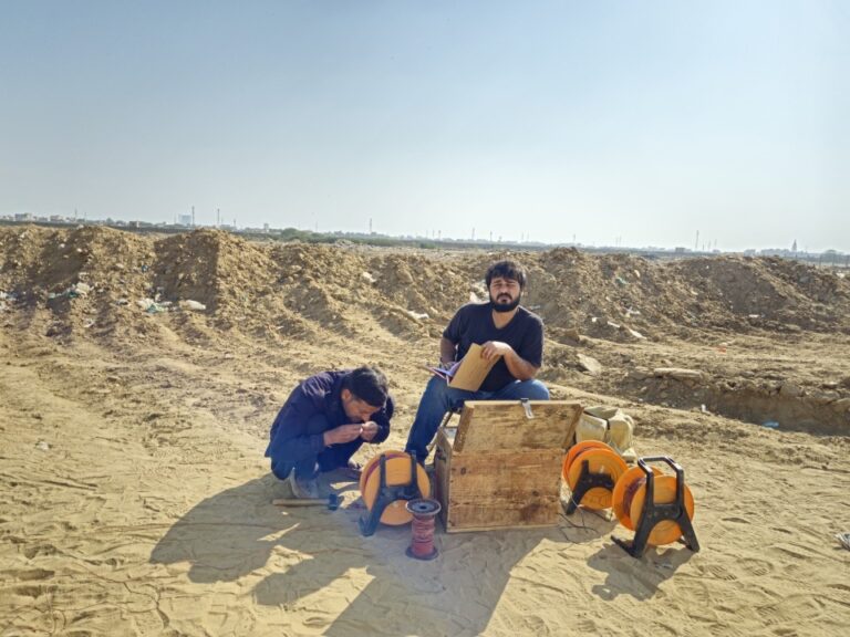
Most project failures underground are not accidents. They are the result of decisions made without proper data. A structure built on unverified soil. A bore drilled into the wrong formation. A mineral investment made from guesswork rather than verified strata.
Geological mapping in Pakistan gives you a factual picture of what the ground holds before the first rupee is committed. We conduct surface and subsurface surveys, strata sampling, and full geophysical investigations across Pakistan for construction, mining, water resource, and infrastructure projects. The data we produce tells you exactly what is there, how deep it goes, and what it means for your project.
- Full geological mapping services across Pakistan: Punjab, Sindh, KPK, and Balochistan
- Provision of subsurface data through borehole logging, resistivity surveys, and seismic profiling
- Strata sampling with laboratory analysis for soil, rock, and mineral composition
- Geophysical survey methods including Ground Penetrating Radar (GPR), Electrical Resistivity Tomography (ERT), and induced polarization
- Reports formatted for engineering design, environmental assessment, and mineral exploration
- Free initial consultation and project scoping before any fieldwork begins

Get a free quote
Others services
- Water Boring Services in Karachi
- Boring Water Rates 2026
- Boring Water Pumps, Motors & Pipe Price List 2026
- Drone 3D Topography & Contour Mapping for Construction
- Industrial & Residential RO Plant Installation
- Solar Powered Tube Well Systems & Installation
- Water Boring Machines & Drilling Equipment (Buy/Hire)
- Hydrogeological & Hydrological Investigation Services
- Geotechnical Investigation & Soil Testing for High-Rises
Our process
What Geological Mapping in Pakistan Actually Involves
This is not a satellite image and a report template. It is fieldwork, instrument surveys, sampling, and laboratory analysis that produces data your engineers and investors can rely on.
01.
Surface Geological Mapping
Surface mapping records rock and soil distribution, structural features, fault lines, and formation boundaries across your project area. Our field geologists work at scales from regional reconnaissance (1:50,000) down to detailed site-specific mapping (1:1,000 and below) depending on project requirements. The output is a georeferenced geological map with accompanying stratigraphic sections and formation descriptions. For construction clients, this confirms bearing conditions and fault proximity before foundation design begins. For mineral exploration clients, it identifies lithological targets and guides the location of follow-up drilling.
02.
Provision of Subsurface Data
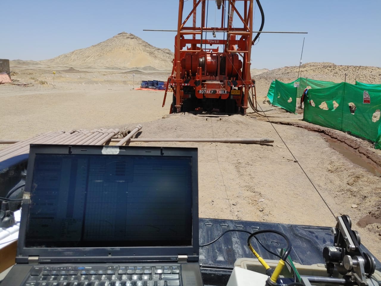
Surface observations only go so far. Subsurface data fills the gap. We provide subsurface data through borehole geophysical logging, seismic refraction and reflection surveys, electrical resistivity tomography, and induced polarization testing. Each method targets a specific subsurface question: depth to bedrock, groundwater table location, soil layer thickness and composition, fracture zones, cavity detection, and mineralization. The appropriate method depends on project depth, target type, and site access. We recommend the right combination during the initial consultation, not afterward.
03.
Strata Sampling and Laboratory Analysis
Knowing that a layer exists is one thing. Knowing what it is made of, how it behaves under load, and whether it carries economic minerals or contaminants is another. Our strata sampling program recovers core and cutting samples from boreholes and test pits, which are then analyzed in accredited laboratories for physical properties (grain size, plasticity, shear strength), geochemical composition, and mineralogy. For groundwater investigations, water samples from identified aquifer zones are tested for TDS, hardness, pH, and bacterial load. All laboratory results are presented in data tables alongside the borehole logs and geological cross-sections in the final report.
04.
Geophysical Survey Methods
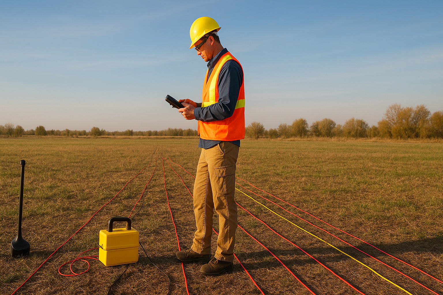
A geophysical survey company collects subsurface information without excavation. We apply the full range of non-invasive methods used in serious investigations. Ground Penetrating Radar maps shallow subsurface features down to approximately 10 meters and is used for buried utilities, foundations, voids, and near-surface stratigraphy. Electrical Resistivity Tomography reads the electrical properties of soil and rock to depths of 100 meters or more, identifying aquifers, clay layers, contamination plumes, and ore-bearing zones. Seismic surveys, both refraction and reflection, determine depth to bedrock, layer velocities, and structural features at depths conventional drilling cannot reach cost-effectively. Induced polarization surveys are applied in mineral exploration where disseminated sulfide deposits or clay-rich zones need to be distinguished from background geology.
Why Choose Us
Why Clients Trust Our Geological Survey Work in Pakistan
Ground investigation is only as good as the people doing it and the instruments they bring. A report assembled from assumptions and averages is not ground investigation. It is paperwork.
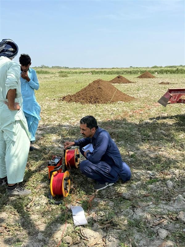
Field Geologists Who Know Pakistani Geology
Pakistan’s geology is genuinely complex. The collision zone between the Indian and Eurasian plates has produced a terrain that ranges from Precambrian basement rocks in the Arabian Shield to active fold-and-thrust belts in Balochistan, deeply buried sedimentary basins in the Indus Plain, and high-altitude metamorphic terrains in the north. Our geologists have worked across this range of conditions. They recognize formations, interpret structural relationships in the field, and design sampling programs around what the geology is actually doing rather than what a desk study suggests it might be doing.
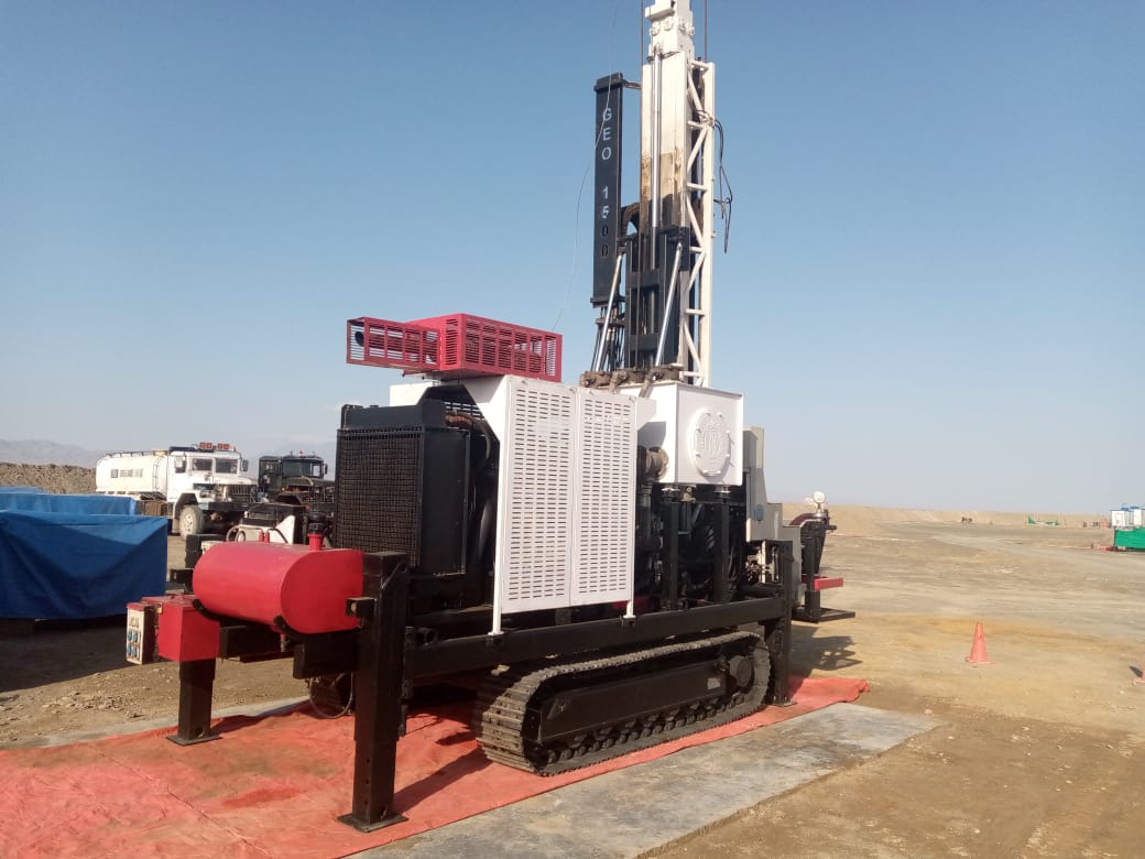
Instruments Calibrated for the Job, Not Generic Field Kits
The accuracy of a geophysical survey depends on instrument quality, survey design, and the skill of the operator. We use properly maintained GPR systems, multi-electrode resistivity equipment, and seismic acquisition hardware appropriate to the depth and resolution requirements of each project. Survey parameters are set for the target, not for convenience. Data is quality-checked in the field before we leave the site, so we do not return months later to tell a client that a critical section was missed.

Written Scope and Fixed Deliverables Before Fieldwork Starts
Every project begins with a written scope of work that specifies survey methods, area coverage, sample numbers, laboratory tests, and report deliverables. That scope is agreed before any field mobilization. Fieldwork costs and timelines are fixed at project approval. If site conditions produce a finding that warrants additional investigation, we discuss the scope change and cost before proceeding, not after we have already done the work and written the invoice.
Excellence skills & Quality work
Our commitment to precision drives every project we undertake. We combine technical mastery with a rigorous attention to detail, ensuring that every borehole, survey, and engineering solution meets the highest industry standards. By prioritizing safety and structural integrity, we transform complex geological challenges into seamless, high-performing assets for our clients.