
Seismic Survey
Seismic Survey — The Ground Truth Behind Every Serious Oil and Gas Decision in Pakistan
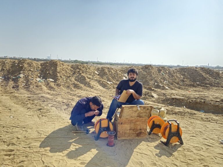
Every basin has a story buried in its rock layers. Some hold hydrocarbons worth billions. Some hold nothing worth drilling. A seismic survey tells you which one you are standing on before a single wellbore is spudded.
We carry out professional land seismic surveys across Pakistan for oil and gas exploration, reservoir characterization, structural mapping, and subsurface geological investigations. Our services cover 2D seismic acquisition, 3D seismic survey design and execution, data processing, and interpreted geological reporting. The deliverable is subsurface data your geologists, reservoir engineers, and investors can build decisions on.
- Land seismic surveys for oil and gas exploration, reservoir delineation, and structural mapping across Pakistan
- 2D seismic profiling for basin reconnaissance and regional geological framework definition
- 3D seismic survey design and acquisition for detailed reservoir characterization and well site selection
- Shot point and receiver layout design calibrated to target depth, geological complexity, and surface conditions
- Seismic data processing including noise attenuation, velocity analysis, migration, and stack generation
- Structural interpretation covering fault mapping, horizon picking, and trap geometry definition
- Full field programs from permit acquisition and survey design through to final interpreted seismic sections

Get a free quote
Others services
- Water Boring Services in Karachi
- Boring Water Rates 2026
- Geological Mapping & Subsurface Data Services
- Boring Water Pumps, Motors & Pipe Price List 2026
- Industrial & Residential RO Plant Installation
- Solar Powered Tube Well Systems & Installation
- Water Boring Machines & Drilling Equipment (Buy/Hire)
- Hydrogeological & Hydrological Investigation Services
- Geotechnical Investigation & Soil Testing for High-Rises
Our process
What a Seismic Survey Program Covers
A seismic survey is not a single measurement. It is a planned field program that generates, records, and processes acoustic energy reflected from subsurface rock boundaries to build a picture of what the geology looks like, how deep the target formations sit, and where the structural traps that could hold hydrocarbons are located.
01.
How Land Seismic Surveys Work
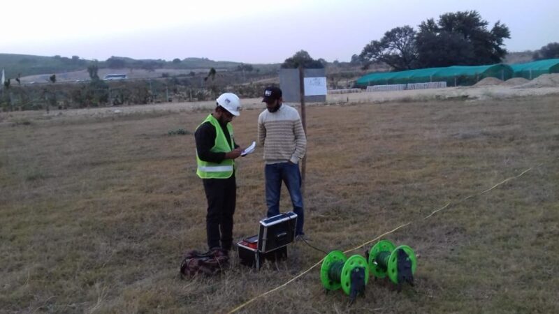
Seismic surveying works by introducing acoustic energy into the ground and recording how that energy bounces back from subsurface rock layer boundaries. On land surveys, the energy source is typically a vibroseis truck, which generates controlled ground vibrations at defined frequencies, or an explosive charge detonated in a shallow shot hole. The returning energy is captured by geophones laid out along receiver lines across the survey area.
Each geophone records a time series of ground motion. The time it takes for energy to travel from the source, reflect off a subsurface horizon, and return to the surface is directly related to the depth of that horizon and the acoustic velocity of the rocks above it. Collect enough of these time measurements across a grid of shot points and receivers, and you have the raw data needed to reconstruct a model of the subsurface in two or three dimensions.
The field acquisition program is only the start. Raw seismic data is processed through a sequence of steps including filtering, deconvolution, velocity analysis, normal moveout correction, and migration. Migration repositions reflection events to their true subsurface locations, correcting for the lateral smearing that uncorrected data produces. What comes out the other end is a seismic section or volume that a geologist can interpret for structure, stratigraphy, and prospectivity.
02.
Seismic Data Processing and Interpretation
The quality of the processed seismic section determines the quality of everything built on top of it. A poorly processed dataset produces a noisy, low-resolution image where faults are ambiguous and horizon picks are uncertain. A well-processed dataset produces a clean, high-resolution image where structural features are unambiguous and stratigraphic detail is visible.
Processing sequences are designed around the specific noise environment and geological objectives of each survey. In Pakistan’s onshore basins, surface-consistent corrections for elevation and near-surface velocity variations, coherent noise suppression for ground roll, and careful velocity model building are the steps that separate a usable seismic section from one that misleads rather than informs.
Structural interpretation of the processed data produces fault maps, time-structure maps on target horizons, and trap geometry analysis. Depth conversion using a calibrated velocity model turns those time-domain maps into depth maps your drilling team can use for well planning. Where wells are available for calibration, synthetic seismograms tie the well log data to the seismic response and confirm that the interpretation is geologically consistent.
03.
2D Seismic Surveys for Basin Reconnaissance
A 2D seismic survey acquires data along individual lines across the survey area. Each line produces a vertical cross-section of the subsurface along that traverse. A grid of 2D lines across a basin provides a regional framework: where the major faults run, how the sedimentary sequences thicken and thin, which structural highs are present, and where the basin depocenters sit.
For frontier exploration and early-stage license evaluation in Pakistan, a well-designed 2D seismic program is the standard first tool. It covers large areas at manageable cost, identifies the most prospective parts of the license block, and defines the targets that justify the investment in a full 3D seismic survey. Decisions about where not to drill are often as valuable as decisions about where to drill, and a 2D program produces both.
04.
3D Seismic Surveys for Reservoir Characterization
A 3D seismic survey acquires data across a closely spaced grid of shot points and receiver lines, generating a three-dimensional volume of seismic data rather than a series of individual cross-sections. That volume can be sliced in any direction, at any depth, to examine structural geometry, fault continuity, stratigraphic variations, and reservoir extent in ways that 2D data simply cannot support.
The design of a 3D seismic survey determines how much of that capability you actually get. Bin size controls the lateral resolution of the final volume. Fold (the number of independent ray paths contributing to each subsurface point) controls the signal-to-noise ratio. Maximum offset controls the depth penetration and the amplitude versus offset (AVO) analysis that underpins direct hydrocarbon indicator work. Survey design is not a formality. It is where the technical specifications of the 3D seismic program are set to match the depth, dip, and character of the target reservoir.
For development planning in known oil and gas fields, a 3D seismic survey provides the reservoir geometry needed to plan well locations, optimize production drainage patterns, and identify bypassed pay. For exploration in a well-constrained structural setting, it defines trap geometry with enough confidence to justify committing to a well.
Why Choose Us
Why Pakistan's Oil and Gas Operators Choose Our Seismic Survey Services
Seismic work done poorly gives you a section. Seismic work done properly gives you a section that accurately represents the subsurface, processed and interpreted by people who understand the geological context, and delivered in a form that directly supports your next decision.
Survey Programs Designed Around Your Geological Objective
A regional reconnaissance program over an unexplored license block is a different technical exercise from a high-resolution 3D survey designed to optimize development drilling in a producing field. The acquisition parameters, processing sequence, and interpretation deliverables that serve one program poorly serve the other.
We design each seismic program around the specific target depth, reservoir type, structural complexity, and decision it needs to support. Before a single geophone goes into the ground, we review your available geological data, discuss your exploration or development objective, and propose a survey design with the technical parameters justified against that objective. The survey design document your team reviews will show you exactly why each parameter was chosen and what it delivers.
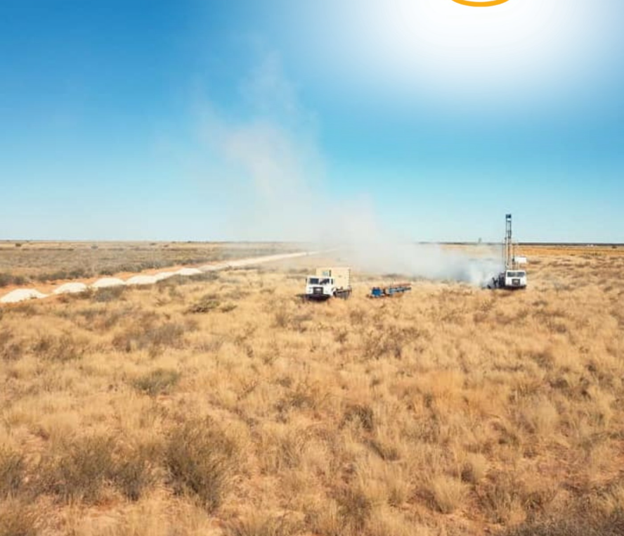
Field Acquisition Managed to Quality Control Standards
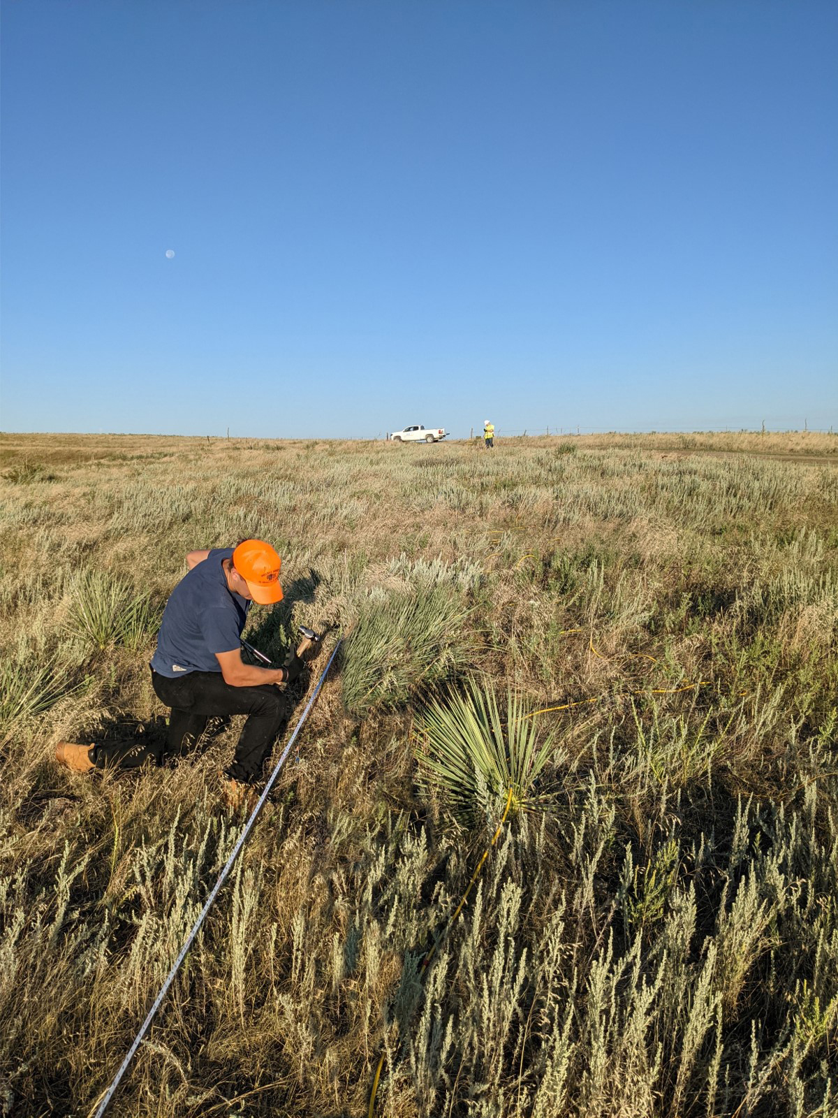
Raw seismic data quality is set in the field. Geophone coupling, shot energy consistency, timing accuracy, and receiver line geometry all affect the final processed result in ways that no amount of post-acquisition processing can fully correct. Our field programs run with continuous quality monitoring: record examination at the time of acquisition, immediate reshoot of poor-quality records, and daily reporting of production statistics against program targets.
Field records are documented with shot point coordinates, elevation surveys, and observer logs that form the permanent record of what was acquired, where, and under what conditions. That documentation is what allows the data to be reprocessed years later with confidence that the geometry is correct.
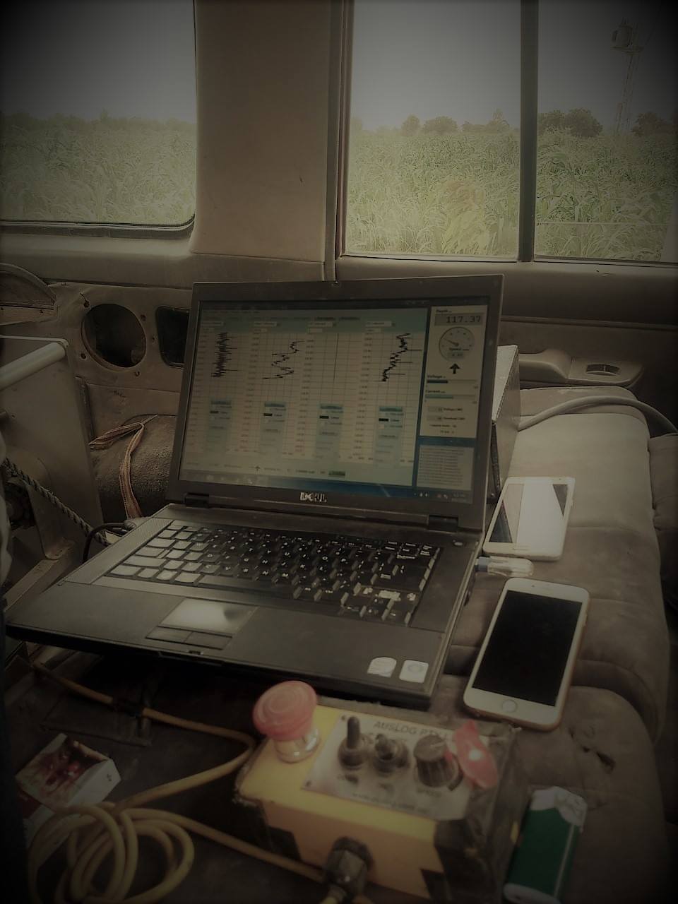
Processing Applied to the Geological Problem
There is no standard seismic processing flow that works equally well for a shallow carbonate target in the Potwar Plateau and a deep clastic target in the Sulaiman foredeep. Both need surface-consistent corrections. Both need velocity analysis. But the specific challenges — near-surface karst in one case, interbed multiples in the other — require different approaches.
We design and document the processing sequence for each dataset against the geological objective and the specific noise environment of the survey area. Intermediate processing outputs are reviewed at key stages so that decisions about parameter selection are made with visibility into their effect on the data, not applied blindly from a template.
Excellence skills & Quality work
Our commitment to precision drives every project we undertake. We combine technical mastery with a rigorous attention to detail, ensuring that every borehole, survey, and engineering solution meets the highest industry standards. By prioritizing safety and structural integrity, we transform complex geological challenges into seamless, high-performing assets for our clients.